
Update: Mid Day Monday:
Ian is no longer a glimmer in the eyes of NWS forecasters. Ian is now a tropical storm. However, Ian is about to head north over unfavorable waters, will likely never develop hurricane strength, and is not expected to hit anything big. (See map above.)
Nothing else is really happening in the Atlantic at this time, wrt storms. There is a disturbance in the Lesser Antilles, which is not likely to do anything more any time soon, if at all.
Update: Monday AM:
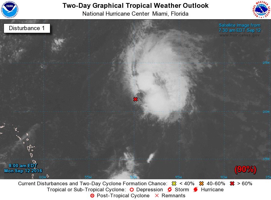
Yes, the chances that a tropical storm that has been tracked for a few days now as a disturbance will form today is very high. By the end of the day we may have a named storm, and that storm may be Ian.
Here is incipient Ian:
Original Post:
The Atlantic Ocean is certainly having a special day today, with three, count 'em, three areas of disturbance spread across a huge area:

The one on the right has a very high probability of turning into something real, perhaps eventually to be a named storm, some time over the next few days. It is way too early to say much more than that about it.
But, since the topic of storms has come up, check out the latest video by Peter Sinclair on the topic of weather and anthropogenic global warming: